


 18 / 22

The Oregon Surveyor
|
Vol. 40, No. 1
18
Lost Survey
o
r
The
Q
What feature on Mount Hood is named for a one
time surveyor and school teacher from Hood River?
By Pat Gaylord, PLS
A
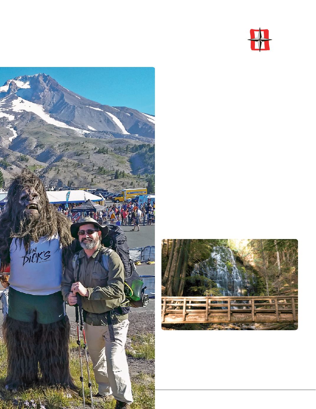
Last summer I fulfilled a long-time desire to hike
the Timberline Trail around Mt Hood. This heavily
traveled, nearly 40 mile loop trail, leads to some
stunning scenery and unique views of the mountain
which is inaccessible any other way. After enticing a
friend to join me in the adventure, we set a date for
the four-day, three-night trek. The day we hit the trail
unexpectedly coincided with the kick off of the Hood
to Coast race. We arrived at the Timberline Lodge
parking lot, at 6000 feet elevation, to find several
thousand hearty outdoor people who wanted to
run rather than walk. Enjoying the festivities at the
starting line for our event and theirs, I took advantage
of the party for a photo op with a northwest legend
(left). Leaving the chaos of the Hood to Coast behind,
we embarked on our clockwise circumnavigation of
the mountain.
Ten miles down the trail we enjoyed the last remnants
of the day at Ramona Falls (above), complete with the
backpackers version of White Russians made from
Ice Cream and Kahlua. Dry ice is a great invention!
Ramona Falls is the lowest point on the trail at an
elevation of about 3300 feet. From here, we gradually
ascended for the next two days over nearly 20 miles.