
The Oregon Surveyor
|
Vol. 40, No. 2
Lost & Found,
continued
surveyed in the 1880’s and 1890’s. It was a nice
change of pace to traverse on the “east side” over
the gentler open pine and oak country, somewhat
reminiscent of the “Little House on the Prairie”
landscape. This range line was originally established
by U.S. Deputy Surveyor LaFayette Cartee in
mid-October of 1860 and I was eager to search
for some of the earliest corners established in the
Oregon Territory. These wood posts were set just
three weeks before Abraham Lincoln was elected
president of the United States some 155 years ago!
Also, the historic Barlow Road (circa 1845) crossed
the range line within the three mile segment we were
retracing and finally seeing its location and condition
would be a bonus.
In 1860, the General Land Office was preparing this
area of the Oregon Territory for future settlement.
The first Surveyor General for Oregon, John Bower
Preston, was born in Granville, Vermont in 1817 and
with his family moved to Warsaw, New York and
then later to Rochester. In 1836, his parents
relocated to Will County, Illinois where
young Preston joined them shortly after
the Panic of 1837 which devastated farmers
and merchants throughout the East. He may
have been apprenticed to a civil engineer and
possibly also to a lawyer, as he was trained in
these pursuits. The year 1845 found him as a
resident engineer, supervising the construction
of the south segment of the Illinois-Michigan
Canal, linking the Illinois River with Lake Michigan.
In November of 1850, President Millard Fillmore
appointed Preston as the first Surveyor General of
Oregon and in early 1851, he and his family, which
now included wife Lucy and their 8-year old daughter
plus Lucy’s sister and brother, left New York and
traveled by steamer to the Isthmus of Panama, where
they then traveled on barges, towed by steamboats,
60 miles to near the Pacific shore. Then it was north
by steamers to San Francisco and eventually to
Oregon City where he established his office. Starting
on June 4, 1851, from a point near present day
Portland OR, the Willamette Meridian was run north
110 miles to Puget Sound (near present day Olympia,
WA) and also 244 miles south (with several offsets
along the way) to the California border. The base lines
were run east and west from the “Initial Point” (near
Portland) to complete the initial framework for the
township and sectional surveys to follow. By 1860,
most of the lands suited for agriculture on the west
side of the Cascade Range had been surveyed. The
east side of the range was now being readied for an
influx of homesteaders.
One of those intrepid adventurers was a Kentuckian
by the name of Samuel Kimbrough Barlow,
descended from the hardy Scotch, who was captain
of a company of immigrants, leaving Independence,
Missouri in May of 1845, westward bound for western
Oregon and the promise of free land. The “Donation
Act” was later passed by Congress only months
prior to John Preston’s appointment and departure
for Oregon City. Barlow and his followers finally
arrived at The Dalles, Oregon in late September, with
winter fast approaching. The area was named by
French-Canadian employees of the Northwest
Company who first arrived in this area
in about 1825. Thus “The Dalles”
comes from a French
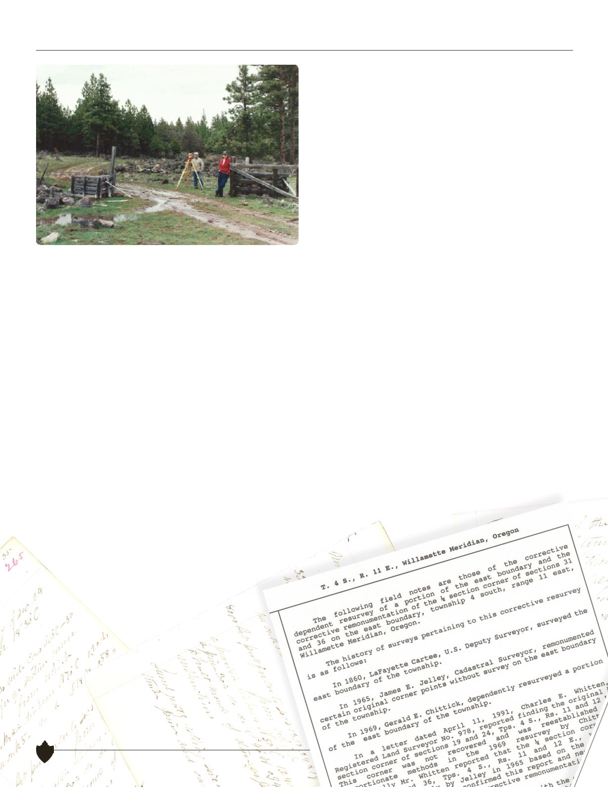
The 1846 Barlow Road wanders easterly through the range line
gate as it passes Dave Simes (instrumentman on left) and Troy
Hatfield (head chainman on right)
8


