The Oregon Surveyor | Vol. 38, No. 4
16
LAYNE CASWELL’S “FINAL POINT”
T
he “Final Point” ceremony for Walter Layne Caswell,
late of Council, Idaho, was held on July 11, 2015 at
the Walnut Street Center in Hillsboro, Ore. The
marker is a 4 ½-inch diameter bronze disc which was
engraved “Walter Layne Caswell.” Also included were
Layne’s professional registration numbers for Oregon and
Idaho. The date on the monument is July 8, 1966, represent
ing when he received his first license number in Oregon, no.
737. A second group of numbers represented the geodetic
location of the monument with longitude and latitude.
The monument is part of a joint effort by NSPS and
Berntsen International to form a foundation intent on
building an endowment for surveying scholarships. The
monument was purchased and provided by Danna
Barnhart, PLS, who was a lifemate to Layne in Council,
Idaho, for many years.
The location of the monument was first approved by Jim
Elam, Washington County Surveyor, with assistance, efforts
and suggestions by G. Robert (Bob) Taylor and R. Charles
Pearson. As the County Surveyor, Jim needed a geodetic
control monument for the field crews and this was
something the county could support. Washington County
Layne Caswell Honored with
“Final Point” Ceremony
Bob Taylor, PLS; Jim Elam, PLS; Al Hertel, PLS; Chuck Pearson, PLS; John Thatcher, PLS; and Greg Crites, PLS
set the monument in concrete at a location which would be
accessible to the public and professional surveyors.
The geodetic measurements were taken by Al and Maxine
Hertel of Caswell/Hertel Surveyors, Inc. of Beaverton.
A “Shared Solution” paper was prepared and is available
at the NGS website:
.
A search on the ZIP Code 97123 will bring up a list of sites.
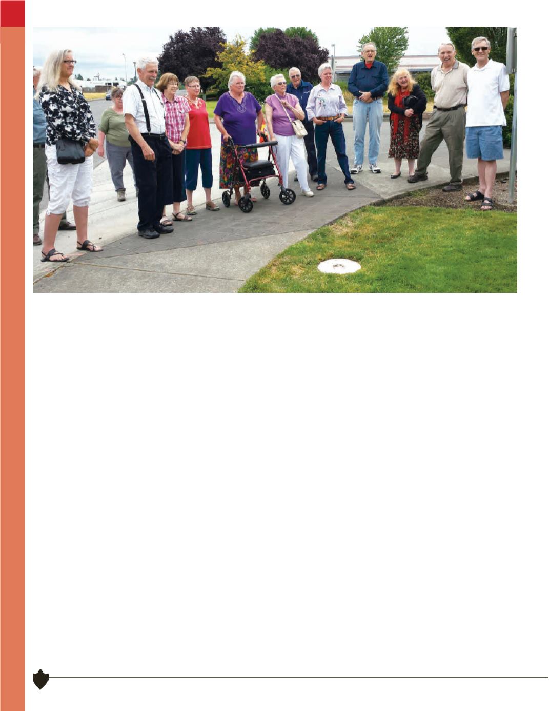
Over 30 persons attended the field dedication and review
of the monument and its significance to the memory of
Walter Layne Caswell. Lunch followed at the Grand Lodge
in Forest Grove. Many old friends and fellow surveyors as
well as family members attended. The Professional Land
Surveyors of Oregon was well represented, including
current state chair John Thatcher, and five past state
chairpersons. G. Robert (Bob) Taylor acted as the host
for the lunch. Many stories were told of the life and times
of Layne. Bob and Layne worked together as far back as
1968 when they were employed at Robert E. Meyers
Engineers & Associates.
Layne started his own surveying company in 1971 and
took on Albert (Al) Hertel as a partner in later years. Layne
and Al became early pioneers in the use of GPS equipment


